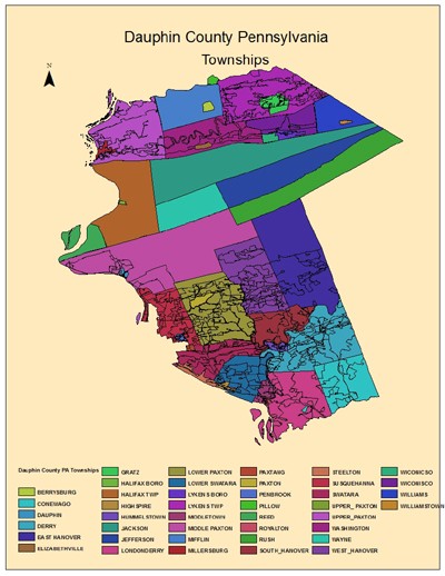
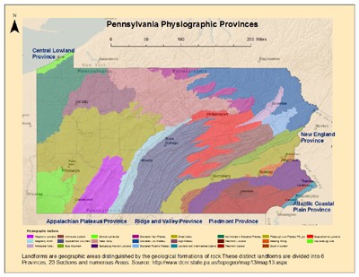
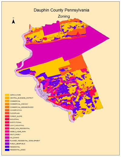
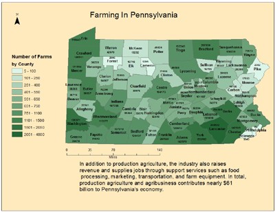
Below are examples of Land Use/Land Cover Maps I created in ArcMap10 from ESRI Geographic Information Services (GIS) software. After downloading data and building the maps I exported them from ArcMap10 .mxd's to .jpg's. The maps are arranged in order from small scale (Municipal), medium scale area (County) to large scale area (State and National) so as to demonstrate facility with a variety of type and kind of database maps.
Below the maps are .pdf versions for user friendly display and download, as ypwell as links to their Metadata. I used Adobe Photoshop to resize these maps from .mxd's to .jpg's and for easy web use. Click on any map to see a larger version.