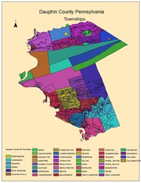
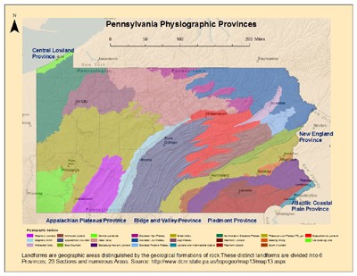
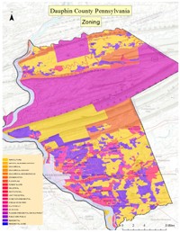
Below are examples of GIS I created in ArcMap10 from ESRI Geographic Information Services (GIS) software. After downloading data and building the maps I exported them from ArcMap10 .mxd's to .jpg's. The maps are arranged in order from small scale (Municipal & Park), medium scale area (County) to large scale area (State, National and International) to demonstrate facility with a variety of type and kind of databased maps*.
Below the maps are .pdf versions for user friendly display and download, as well as links to their Metadata. I used Adobe Photoshop to resize these maps from .mxd's to .jpg's and for easy web use.
*Note that this page is permanently "in progress" as I develop new versions of maps, or new maps altogether.